
Electronic charts
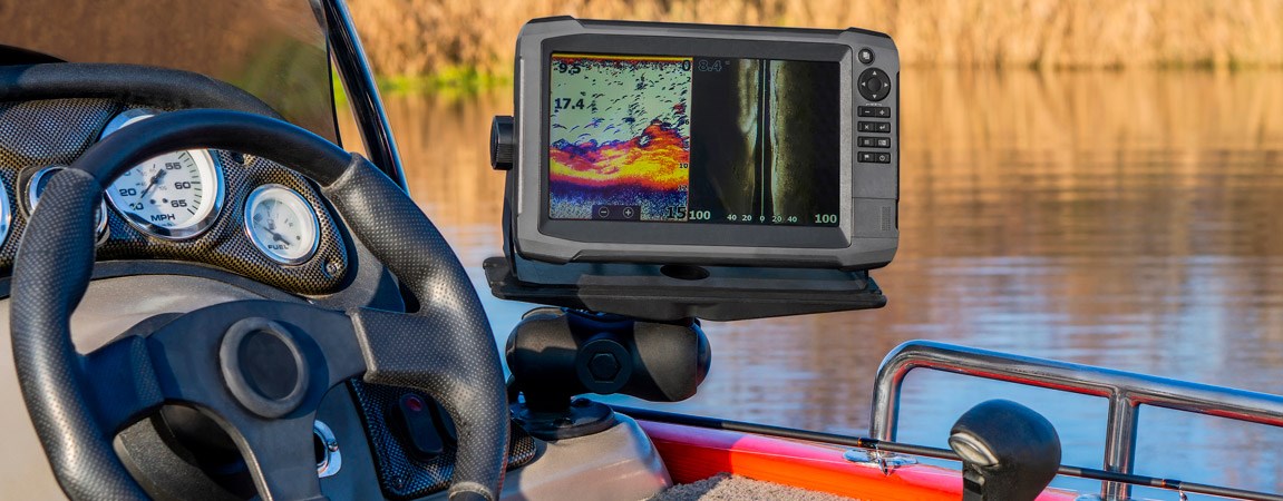
This product category includes versatile and accurate charts for inland waters and sea charts for all Finnish coastal and open water areas. The charts provided by chart plotters accurately show rocks, depressions, routes, shipping lanes, and navigation marks. With charts, you can enjoy new perspectives and explore new fishing water carefree.
More advanced charts also offer many of additional features and show everything from shaded depressions and coastlines to depth sounding, navigation markers, harbor information, shipwrecks, obstacles, tidal zones, restricted areas, IALA symbolsm etc.
Our range includes popular Navionics and Garmin Bluechart charts. For reading the charts, you will need a compatible chart plotter or a combination device.
VAT 0% (login to see prices incl VAT)
Prices include VAT {{user.vatCodeId}} %
VAT is applied at checkout

Hide filter


